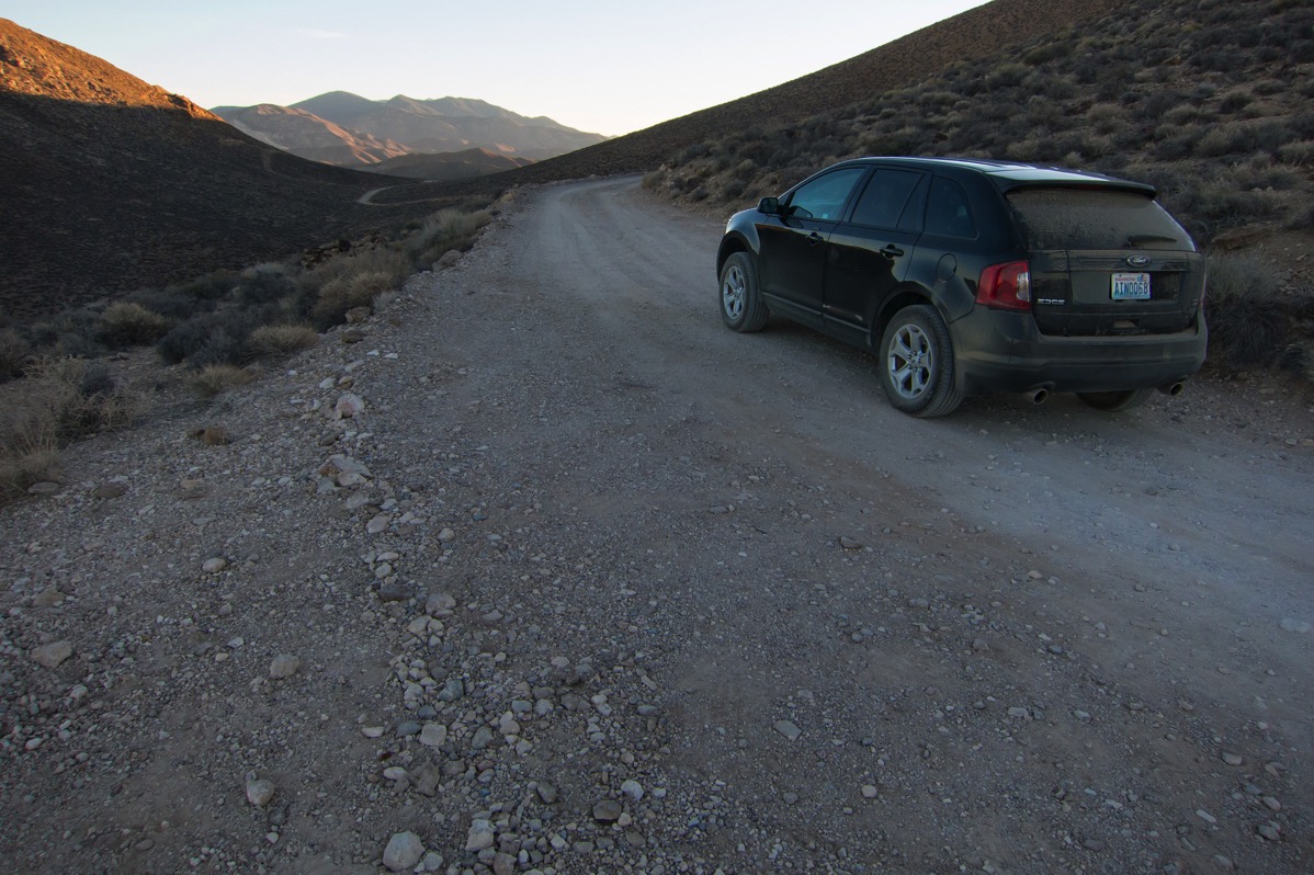
What happened to the Chretiens is so common in some places that it has a name. The park rangers at Death Valley National Park in California call it “death by GPS.” It describes what happens when your GPS fails you, not by being wrong, exactly, but often by being too right. It does such a good job of computing the most direct route from Point A to Point B that it takes you down roads which barely exist, or were used at one time and abandoned, or are not suitable for your car, or which require all kinds of local knowledge that would make you aware that making that turn is bad news.
It's a longish piece that's worth a read. However, it seems that a lot of these GPS horror stories--many from the US West--are as much about visitor expectations of what constitutes a "road" as anything else. It's both about the quality of the underlying data and its interpretation, things that apply to many automated systems.
According to Hacker News commentator Doctor_Fegg:
This is clearly traceable to TIGER, the US Census data that most map providers use as the bedrock of their map data in the rural US, yet was never meant for automotive navigation.
TIGER classes pretty much any rural "road" uniformly - class A41, if you're interested. That might be a paved two-lane road, it might be a forest track. Just as often, it's a drainage ditch or a non-existent path or other such nonsense. It's wholly unreliable.
But lest you think data problems are in any way unique to electronic GPS systems, read this lengthy investigation into a 1990s Death Valley tragedy.
For what it’s worth, I did some cursory examination into what Google Maps would do if I tried to entice it into taking me on a “shortcut” through the Panamint Mountains in western Death Valley. My conclusion was that it seemed robust about not taking the bait; it kept me on relatively major roads. However, if I gave it a final destination that required taking sketchy roads to get there (e.g. driving to Skidoo), it would go ahead and map the route.)
After writing this, it occurs to me that for situations such as this, we need data that is both accurate (represents the current physical reality) and precise (describes that physical reality with sufficient precision to be able to make appropriate decisions).


No comments:
Post a Comment